Venise
Behind the scenes of Venice lies the Veneto region, which appears peaceful and well-organized. This vast area supplies the necessary resources to the city on water.
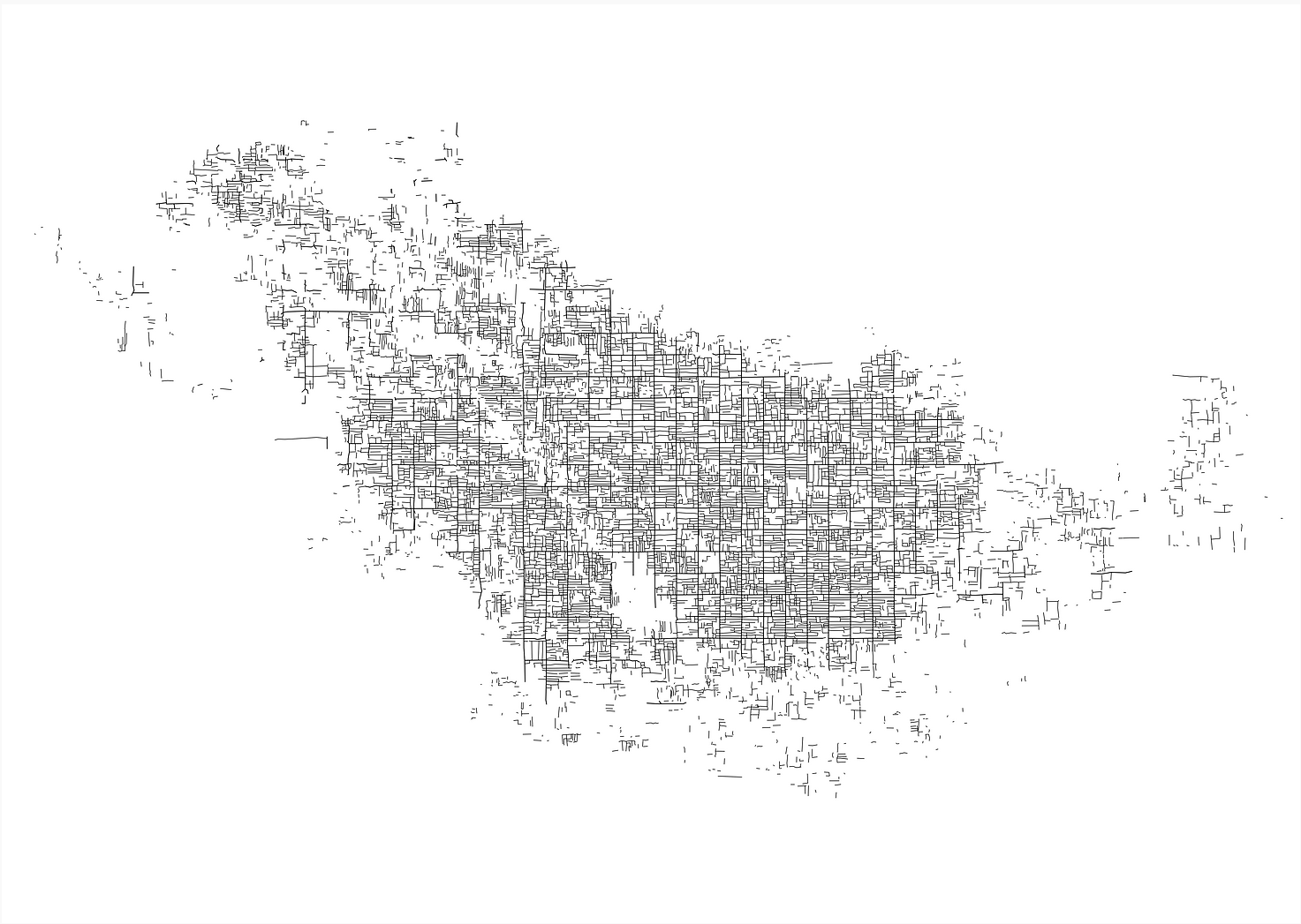
Numerous canals wind through its fields following the grid designed by the Romans. On land, the centuriations are both its strength and its weakness. They irrigate and protect but are at risk of being submerged by the sea and storms.
The sprawling territory mixes individual houses, industries, and agriculture, woven with this infinite network of canals and intersected by numerous rivers and streams. It is a repetitive, non-hierarchical territory.
The grid of centuriations is a system implemented during the Roman era, managing both land division, property ownership, road layout, and water trajectory. The centuriations are inscribed in a 20x20 actus grid, which here equates to approximately 709 meters per side. This grid, placed at a 45° angle to the topography, allows for effective land drainage.
"In parallel with this particular territorial structure, the dominant productive model in this part of Italy is characterized by a system of small family businesses, spread diffusely throughout the territory
The centuriations are not only concerned with the rising waters coming from downstream but also with floods from upstream. The diffuse nature of the territory raises other issues related, for example, to transport and pollution.
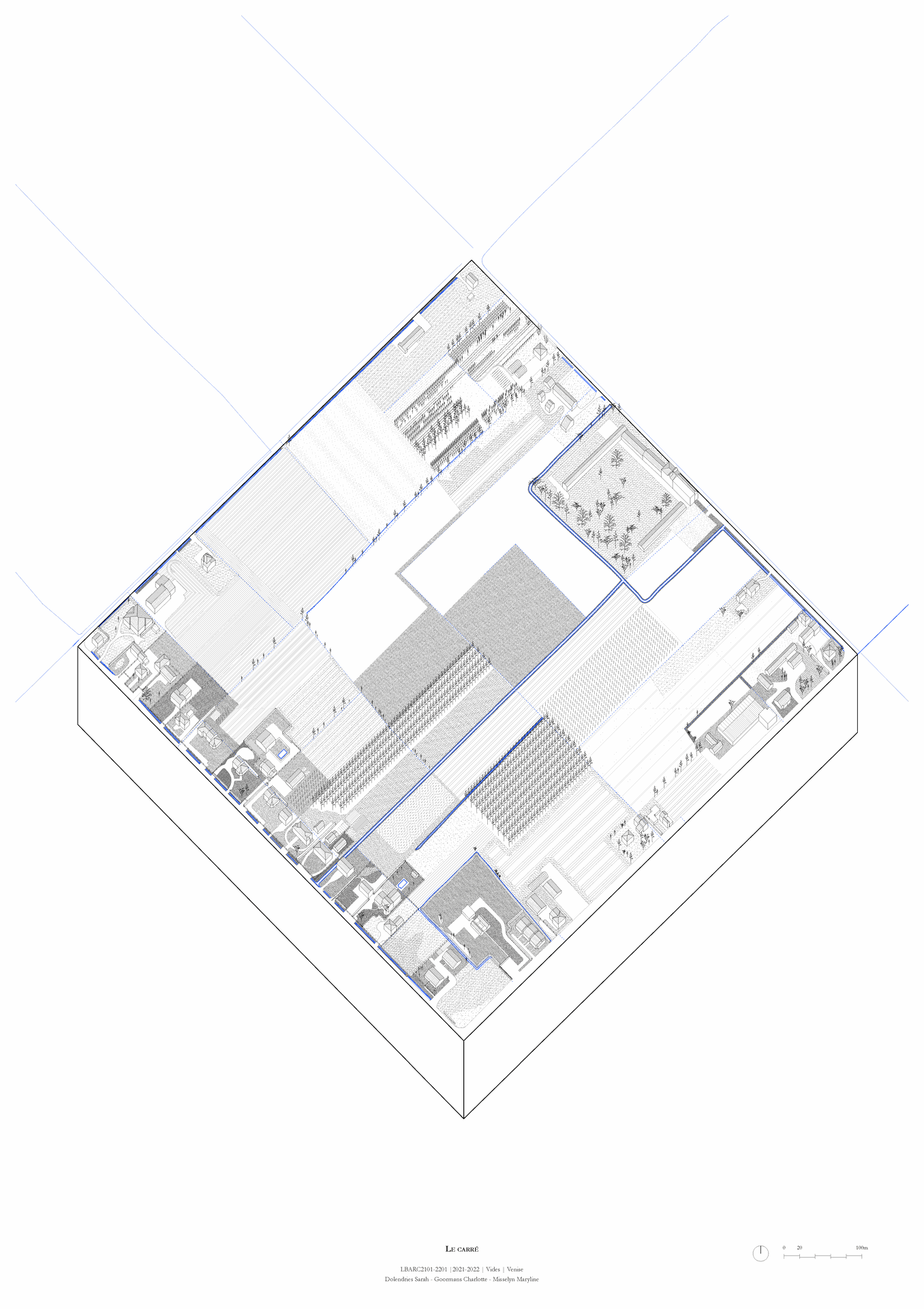
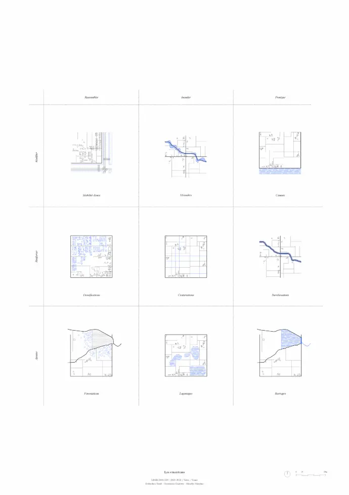
In response to these issues, we have adopted several positions; that of bringing together, allowing flooding, and protecting the territory. These positions are made possible through 3 types of means: the modification and strengthening of the existing, as well as the addition of new measures.
Our proposals are therefore based on the exploitation of centuriations to bring together the inhabitants, particularly through the densification of strategic areas in order to allow water to flood others.
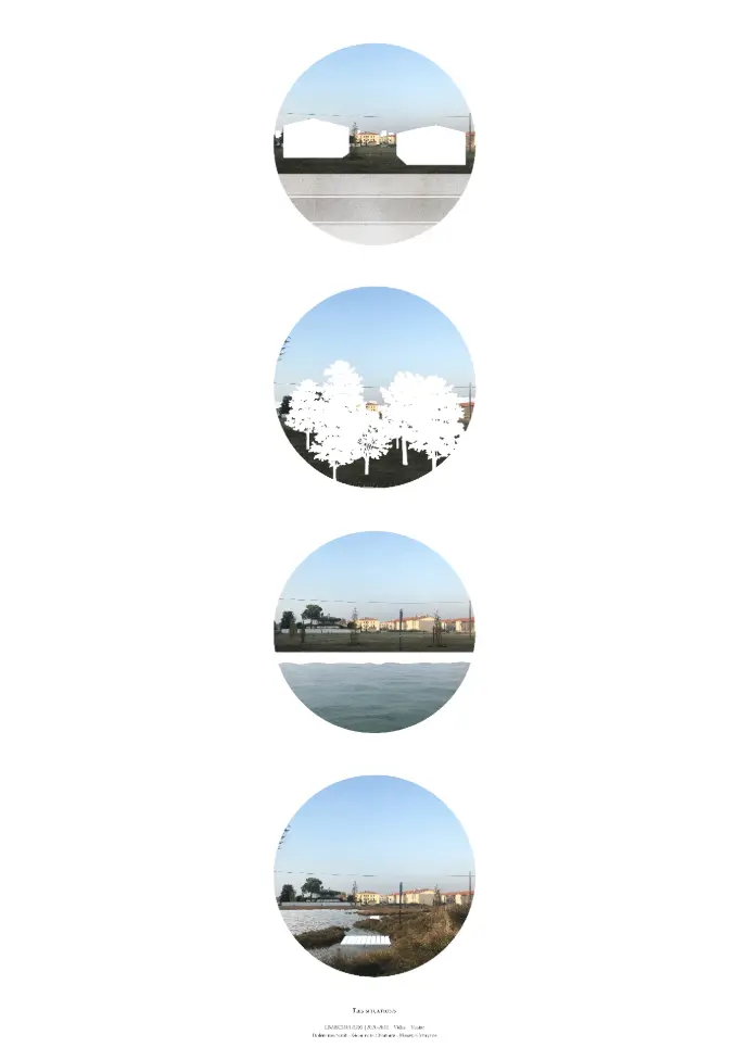
The territory where the centuriations are found is delineated by one of the most important rivers of the plain, the Brenta. This river flows through Veneto to the lagoon of Venice and marks the boundary of the earliest traces of centuriations. Several centuriated networks can be found there, differing from one another by their orientations.
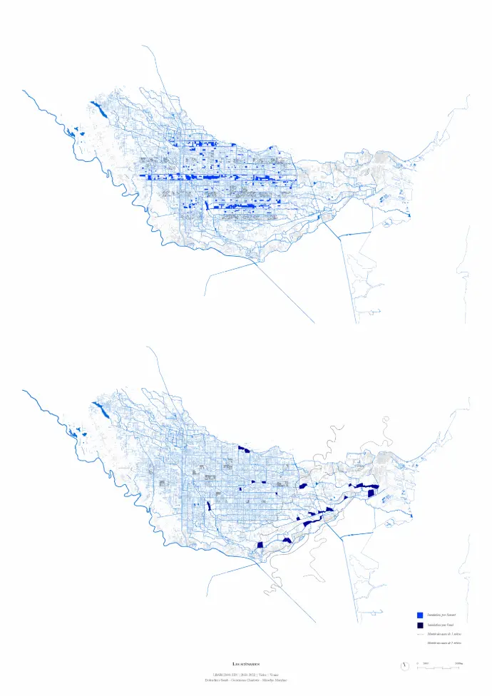
Dans le premier scénario, la plaine est inondée par l’amont dû aux fortes pluies et la fonte des glaciers. La densification est linéaire ce qui laisse la possibilité à une bande de centuriation entière d’être inondée. Les champs agissent comme des zones tampon entre l’urbain et l’inondé et la présence de bassins permettent la gestion de l’eau dans les endroits plus critiques. La vie y est donc très urbanisée et les transports sont facilités.
Dans le second, la plaine est inondée par l’aval dû à la montée de la lagune. La densification se fait par pôles de villages ou villes fonctionnant en autarcie. Autour de chaque pôle, on retrouve des zones agricoles et forestières et plus loin, des bassins naturels d’eau pouvant prendre la forme de lagunages.
In response to these issues, we have adopted several positions; that of bringing together, allowing flooding, and protecting the territory. These positions are possible thanks to three types of means: the modification and strengthening of the existing, as well as the addition of new measures.
Our proposals are therefore based on the exploitation of centuriations to bring together the inhabitants, particularly through the densification of strategic areas in order to allow water to flood others.
The territory where the centuriations are found is delineated by one of the most important rivers of the plain, the Brenta. This river flows through Veneto to the lagoon of Venice and marks the boundary of the earliest traces of centuriations. Several centuriated networks can be found there, differing from one another by their orientations.
"The diffuse city is hierarchising,
the forest protects the built environment,
water is no longer a threat,
The water takes its place back."
"The vast network of rivers that make up the Veneto, continually reshaped by man, is put to the service of the territory. The centuriations are a work being exploited once again, allowing water to take its place while benefiting the inhabited lands. Abundant water is no longer a fear."